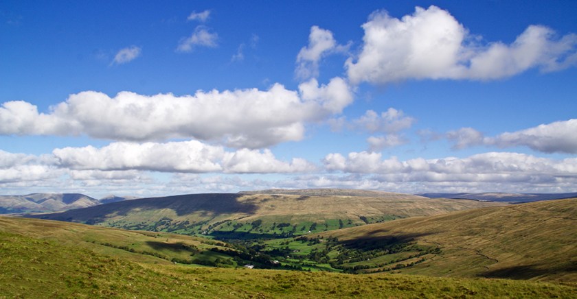
 Seven days ago I believed the Dales summer was all over and done with. So what a bonus to have a few pleasant days this week. I’ve been able saunter around the hills and dales with the fleece still tucked away in the bottom of my bag. One day I drove up lonely Kingsdale and pulled in to walk along the old track which leads over to Barbondale. I love the views from up here. Sitting at the top of High Pike at around 1600ft you can see over several dales and north-west to the Howgills. I was pleased the top photo came out as well as it did. The folding hills merge well with the rolling clouds which bubbled up like waves on the sea.

This carved stone sits in a field at a place on the OS map known as Foul Moss, just off the track. It is only a couple of hundred yards away from the County Stone, the point where Yorkshire, Lancashire and Westmorland all meet. If anyone knows the significance of this little stone and carving I’d be interested to hear from them.


Later I drove into Dent where I picked up a couple of stock pictures after stopping off at this waterfall in Deepdale.

Earlier in the week I drove up to High Birkwith at the top end of Ribblesdale for a circular stroll around Ling Gill National Nature Reserve. By ‘around’ I really mean right round the edge of the reserve for I wouldn’t contemplate clambering my way through the gill. By all accounts it is an almost primeval landscape of boulders and waterfalls, with dark and dank enclaves populated by rare plants. The short, steep-sided valley has remained virtually untouched from grazing animals and humans. Probably the best website I’ve seen for further details is http://oldfieldslimestone.blogspot.co.uk/2013/06/ling-gill-limestone-wild-and-untamed.html

The walk, stretches of which were still a tad boggy, takes in part of the Pennine Way and also the Three Peaks route between Penyghent and Whernside. I never tire of the views around this part of the dales.


Half of last week’s blog disappeared into an internet black hole. Probably my fault. Here’s one you missed of a duck trying to explain the hokey-cokey…


